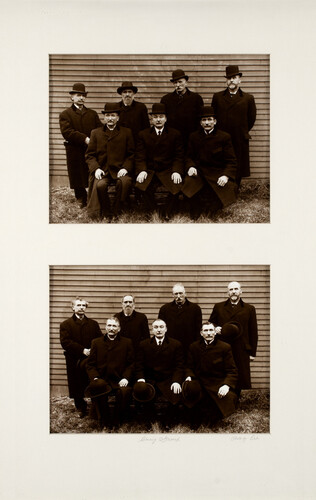
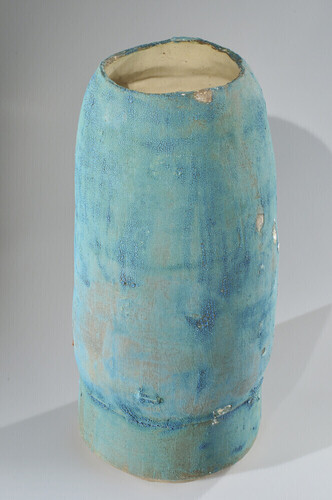
South Johnville is Just Over the Hill From Florenceville-Bristol
by: Colin Smith
I started mapping when I was walking through my town, when covid had started. Nobody but me and the birds were outside. Structure was clearer. I started noticing how the streets were laid out, where the birds went, where I saw foxes, and how people wear down trails in their lawns. I had also been struck lately by how memory shapes everything. And how its loss erases everything. The maps started out as memory exercises. When you draw from memory, you find out what is important. Your memory does the editing. Some things fall away, other things are magnified. It is remarkable how much you can remember. My maps wind up looking like old maps, pre-surveying and pre-photography maps, when people would draw what they remembered, sometimes based on sketches, sometimes on stories. They also sometimes look like medical illustrations. I roughly block in the drawing with pencil, then work over it with ink, using a dip pen. I have used them for years. The dip pen creates a slightly modulating line I love. Colour is added with inks and watercolour. Saint John Story—A story, current in my elementary school, told of a man who jumped off the Reversing Falls Bridge, and was pulled out in the harbour- and his hair had turned white! What a House Sees-Maps out a drive across New Brunswick, from Florenceville to Chaleur Bay. It is drawn as if the house is the centre of the universe. South Johnville- Is how this area feels. Undulating.


